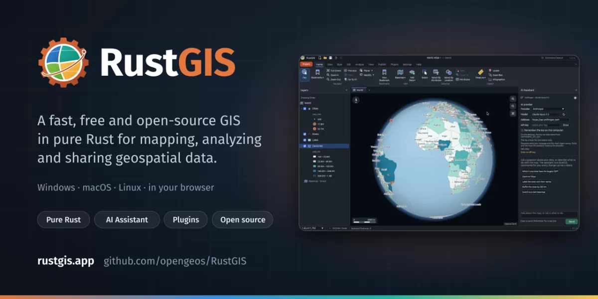
RustGIS is a free, open-source geographic information system (GIS) written in pure Rust for mapping, analysing and sharing geospatial data. According to its GitHub repository, it runs natively on Windows, macOS and Linux, and in a web browser, and keeps user data on the local machine unless the user sends it to an AI model they choose. As of 2026-10-19, the repository showed 1,649 stars and 233 forks, according to GitHub.
What does RustGIS do?
RustGIS is built to handle the core work of a GIS: displaying layers of spatial data, styling them, inspecting attribute tables and running analysis. The project describes it as a single native program that draws its maps on the graphics processor, so it does not need a separate runtime or a server to operate. That design is the main reason its developers describe it as fast and small.
The interface follows the order in which most people work. Its ribbon is arranged into Home, Data, Style, Edit, Analyze, View and Publish, with Layers and Browser panes alongside. Every change can be undone, and every button on the ribbon is tied to a named command. According to the repository, that same command structure lets users script the software, chain steps in notebooks or ask the built-in AI Assistant to carry out tasks.
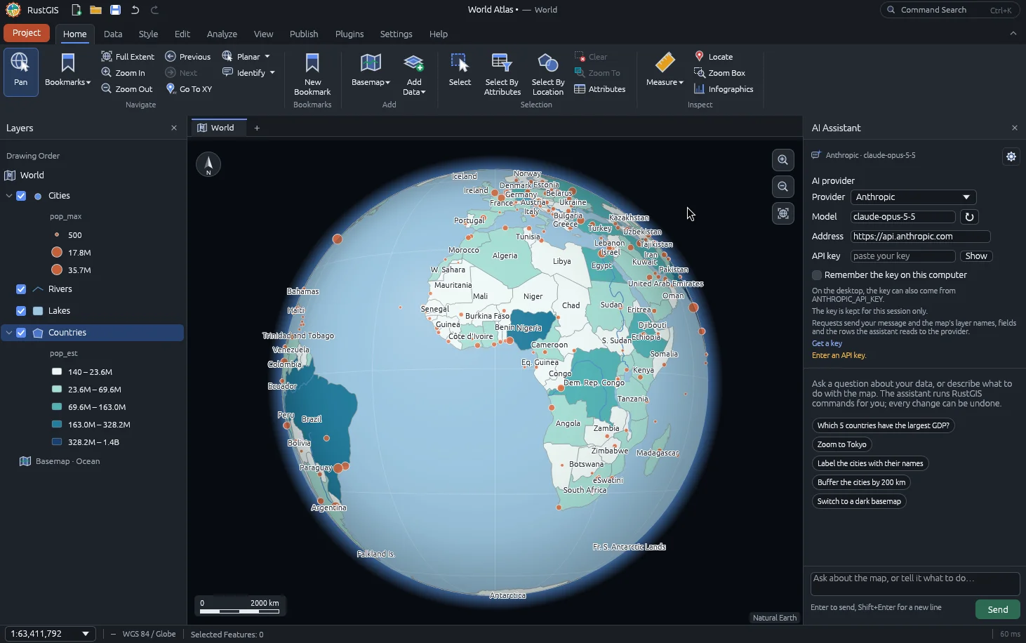
Privacy is one of the project's central claims. The repository states that files are read and written on the user's own computer and are not uploaded on their own. The network is used only when the user asks for it, for example to load web basemaps, install plugins, use the GeoLibre tools or query the AI model of their choice, which receives the questions and the data needed to answer them.
How can users get RustGIS?
The project offers several routes, depending on how people prefer to work. The web version runs at web.rustgis.app and uses the browser's file picker for opening data and projects, with downloads for saving and exporting. Desktop builds are available for Windows, macOS and Linux from downloads.rustgis.app or from the latest release on GitHub.
Other installation options listed in the repository include:
- Microsoft Store, for Windows 10 and 11, with automatic updates
- winget on Windows, using the OpenGeos.RustGIS package
- Homebrew on macOS, using a cask from the opengeos tap
- yay on Arch-based Linux systems, through the AUR package rustgis-bin
- dnf on Fedora, through a COPR repository
- Building from source with cargo, which requires Rust 1.90 or later
For scripting, the repository points to a command-line interface called rustgis-cli. Python users can install the same engine with pip install rustgis and run it inside a Jupyter notebook. The project also links to a getting-started notebook that can be opened in Google Colab.
Which features matter most for analysts?
Beyond basic mapping, the repository highlights tools for terrain, hydrology, LiDAR and remote sensing. It reports more than 1,000 tools drawn from GeoLibre and Whitebox, and it also supports sandboxed WebAssembly plugins that can add new commands, tools and ribbon tabs. Plugins are installed from plugins.rustgis.app.
Data handling covers vector and raster formats. The feature tour mentions GeoTIFF and Cloud Optimized GeoTIFF (COG) rasters with several display styles, as well as web basemaps in XYZ, WMS and vector tile formats and MapLibre styles. Users can also choose among several map projections, including Equal Earth, Robinson and any EPSG code, and view data on a 3D globe.
A ModelBuilder feature lets users connect tools on a node canvas and run them together, while a Time Slider steps through dated features and imagery. The repository also lists terrain tilting, feature extrusion and map layouts with legends, scale bars and PDF export.
What comes next for the project?
The repository points readers to a user guide that covers each area in depth, a comparison page that places RustGIS beside GeoLibre, QGIS and ArcGIS, and a ROADMAP.md file that lists planned work. The project is licensed under the Apache License 2.0, and its sample data comes from Natural Earth, which is in the public domain.
GitHub's verified data for the repository shows the latest release as v0.3.0, published on 2026-10-16, with the most recent commit pushed on 2026-10-19. The project describes itself as free and open source and says that it intends to stay that way. Its sponsorship options include GitHub Sponsors, which bills monthly or one-time payments through a GitHub account, and Buy Me a Coffee for one-off contributions. For readers interested in GIS tools, the project's progress will be worth following, particularly as its release cadence and roadmap develop.
Frequently asked questions
Is RustGIS free to use?
Yes. The project describes itself as free and open source and is licensed under the Apache License 2.0, according to its GitHub repository.
Which platforms does RustGIS support?
The repository says RustGIS runs natively on Windows, macOS and Linux, and in a web browser at web.rustgis.app.
Does RustGIS send my data to the cloud?
According to the repository, files stay on your machine and are not uploaded on their own. Network use happens only when you request it, such as loading basemaps or using an AI model you choose.
Related: SolidCraft: Open-Source Parametric 3D CAD Built in Rust · Pocket Circle: Free Offline Party Games for One Phone



Comments (0)